Training in QGIS Boosts Risk Management in the Xayá-Coyolate Micro-Watershed
February 15 , 2024
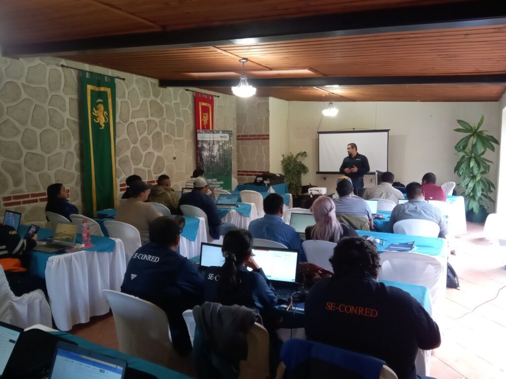
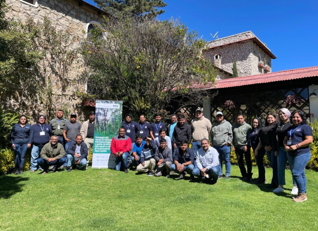
As part of the actions implemented by the Altiplano Resiliente project, a basic QGIS workshop was held for personnel from the National Coordinator for Disaster Reduction (CONRED) and technicians from municipal risk management agencies in the department of Chimaltenango, where the project’s action area is located.
This activity aimed to provide participants with various tools to develop skills for site analysis, territorial planning, evaluation, and decision-making focused on disaster risk management.
The Altiplano Resiliente project is funded by the Green Climate Fund through the International Union for Conservation of Nature (IUCN) and is being developed in the Xayá-Coyolate micro-watershed, which covers parts of the municipalities of Técpan Guatemala, Patzún, and Patzicía in the department of Chimaltenango. In addition to risk management activities, the project implements other important ecosystem-based adaptation (EbA) measures such as forest conservation, forest plantations, forest restoration, and agroforestry systems with the participation of local communities.