50 years after the 1976 earthquake: memory, learning, and action for a safer future
February 4 , 2025
On Wednesday, February 4, 1976, Guatemala awoke shaken by one of the most devastating events in its modern history. At 3:02 a.m., a magnitude 7.5 earthquake lasting 35 seconds struck much of the country, with its epicenter in Los Amates, Izabal.
Official records reported more than 23,000 fatalities, 76,000 injured, and nearly one million people affected, leaving a profound impact on thousands of families. Departments such as Guatemala, Chimaltenango, El Progreso, and Sacatepéquez were among the most severely affected.
Five decades later, the legacy of that earthquake remains a constant reminder of the importance of preparedness and prevention. Remembering this tragedy honors those who lived through it while reinforcing the need to better understand natural hazards.
What Is an Earthquake?
An earthquake is a sudden movement of the Earth’s crust caused by the release of accumulated energy along geological faults. Its impact depends on factors such as magnitude, amplitude, and duration.
Magnitude: the amount of energy released.
Amplitude: the height of seismic wave oscillations.
Understanding these concepts helps explain why some earthquakes cause severe damage and highlights the importance of prevention in protecting lives.
Simple actions during an earthquake can make a difference: remain calm, avoid running or pushing, stay composed, and evacuate only when it is safe. Preparing a family emergency plan, identifying evacuation routes, participating in drills, and knowing emergency numbers; such as 119 for CONRED are essential steps for strengthening community resilience.
Academic institutions, government agencies, and civil society organizations continue working to ensure that events like the 1976 earthquake never again have such devastating consequences.
At ICC, we actively contribute through climate hazard mapping, vulnerability and adaptation studies, community and local government training, and support for strengthening Local Disaster Risk Reduction Committees (COLRED).
In addition, through a recently signed agreement with the Research Institute of Universidad Mariano Gálvez, seismic sensors will soon be installed at several ICC meteorological stations along Guatemala’s southern coast. These sensors will generate valuable data on ground behavior in the country’s seismic context and contribute to disaster prevention.
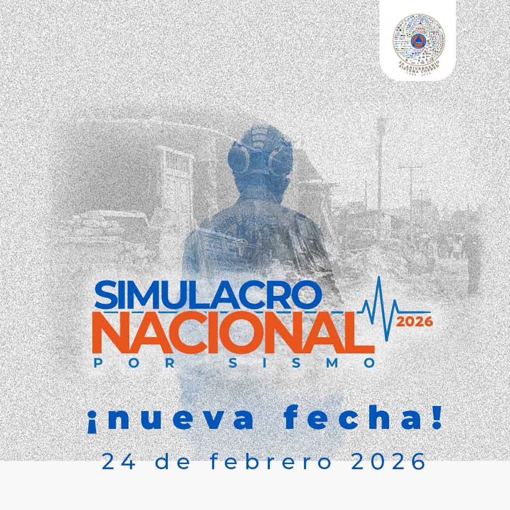
Join the 2026 National Earthquake Drill!
In commemoration of the 50th anniversary of the 1976 earthquake, a National Earthquake Drill will take place on February 24, organized by the National Coordinator for Disaster Reduction (CONRED). This initiative provides an opportunity for institutions, companies, communities, and families to practice response plans and strengthen preparedness.
The drill will include evacuation exercises, activation of emergency operations centers, and testing of alert systems under the framework of the National Response Plan.